

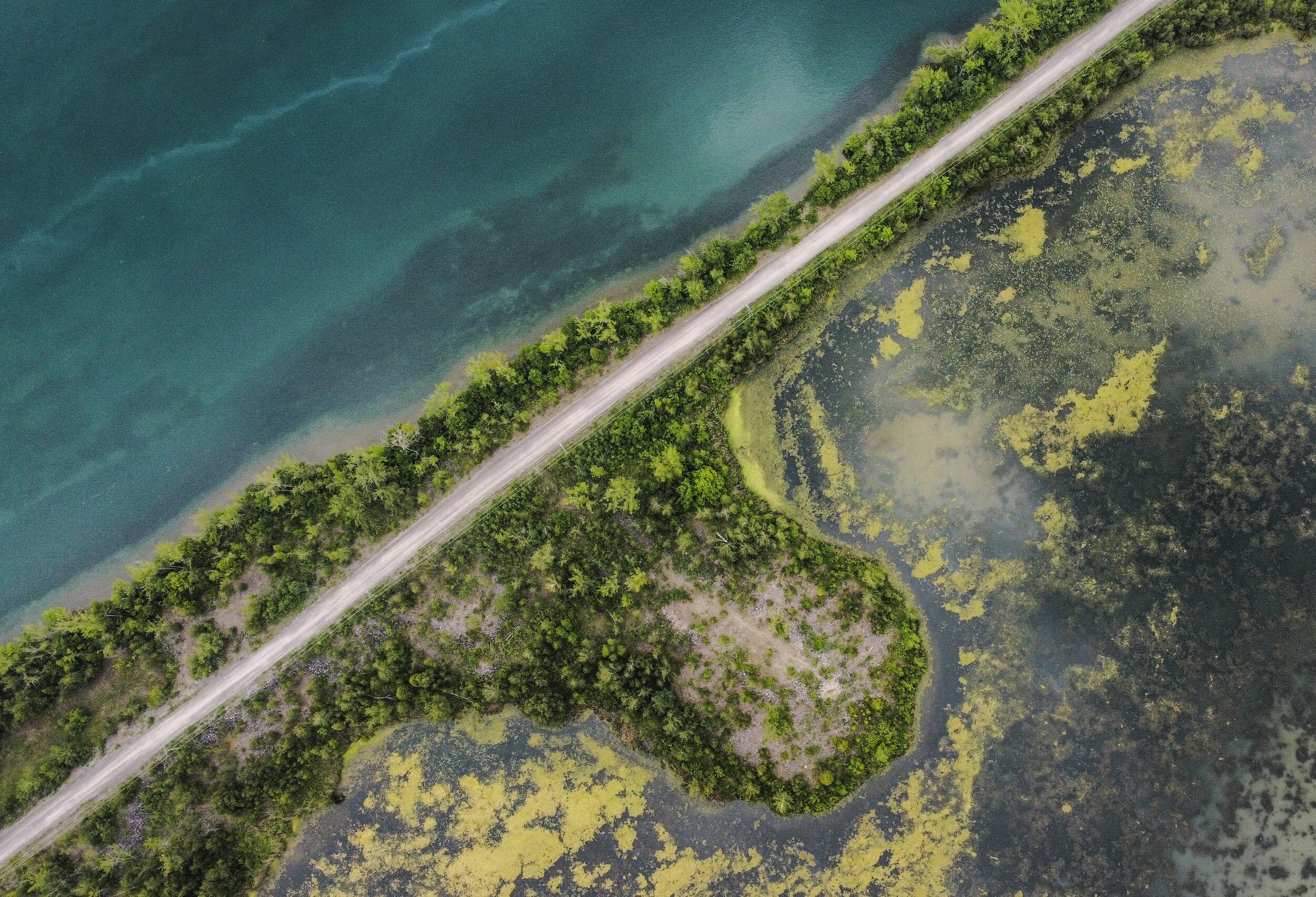
Terrain Laser Scanning
Our company performs 3D terrain scanning of any complexity
Digital elevation model (DEM) is a 3D model of the land surface without trees, buildings, and any other surface objects, which can be represented in the form of elevation points (model nodes), surfaces, horizontals, contours. The 3D model is a real representation of the terrain and can be used for a wide variety of tasks.
Specialists of our company will help you to scan a terrain of any complexity and area. Aerial laser scanning of terrain using modern lidar drone systems. Reporting documentation in an agreed format. We operate in Prague, Czech Republic, and all over Europe.

Laser scanning advantages
High performance
1
High level of detalisation
2
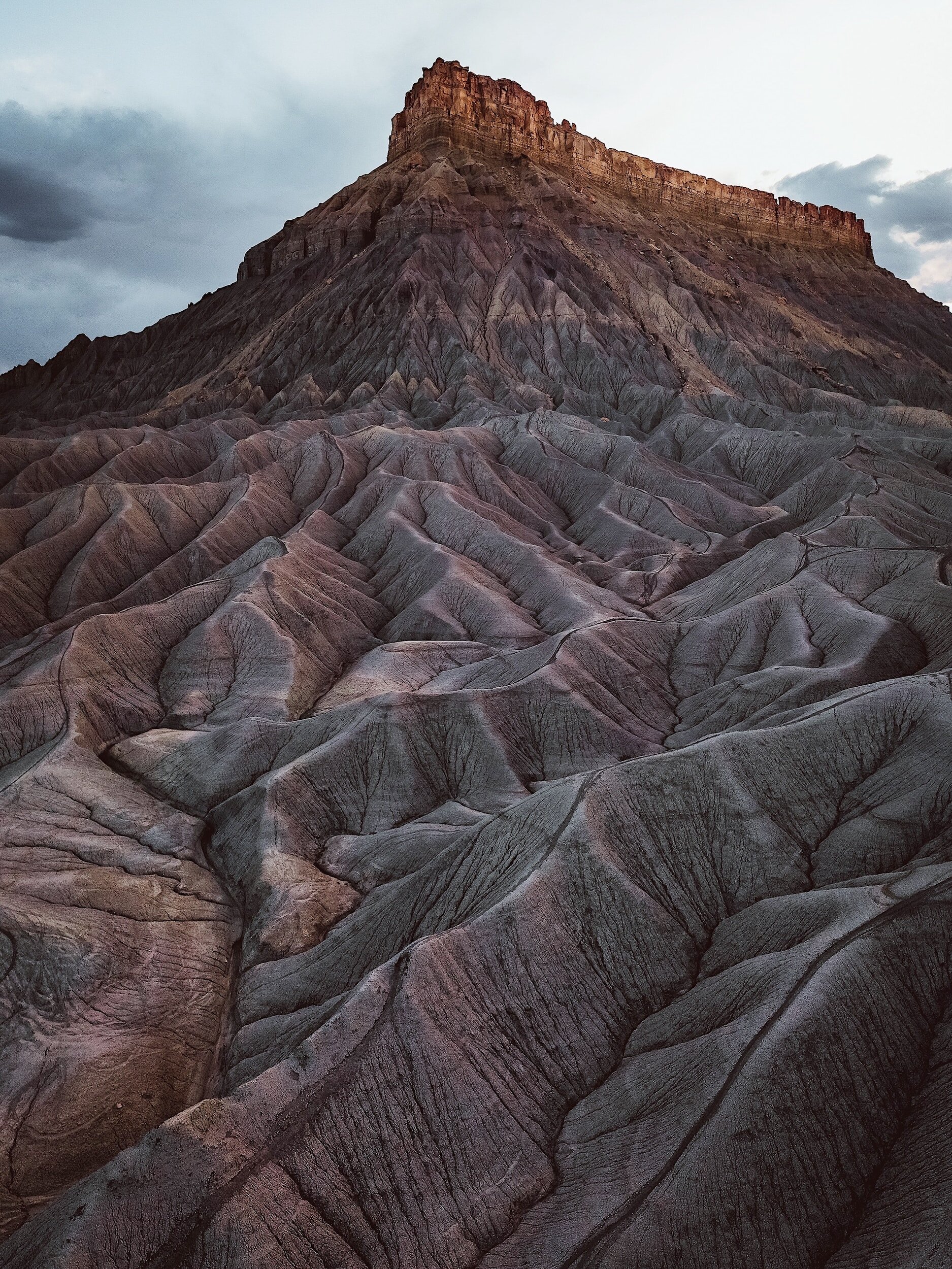
Work in hard-to-reach places
3
Good result even in wooded areas
4
Field of use:
All types of urban and industrial construction
Land cadastre
Agriculture
Design, reconstruction and road facilities construction
As the result you get:
Point cloud of terrain
Digital terrain or surface model (DTM or DSM)
Topographic maps with contour lines (isolines)
Soil stockpile volume calculation reports