
Laser scanning and as-built survey of a building in Úpice
3D building survey: laser scanning of facades and interiors, as-built drawings for renovation and change of use
For a renovation, restoration, and redesign project in Úpice, we carried out laser scanning of the building and a complete as-built survey of both the facades and interior spaces. The goal was to provide architects with accurate documentation in the form of as-built drawings.
The project included a 3D survey of the building, scanning of all facades, interiors of the four-storey structure, the basement, and the attic space including the roof structure. The outcome was a set of precise as-built drawings that can serve as a reliable basis for further design work, renovation planning, and the preparation of construction documentation.
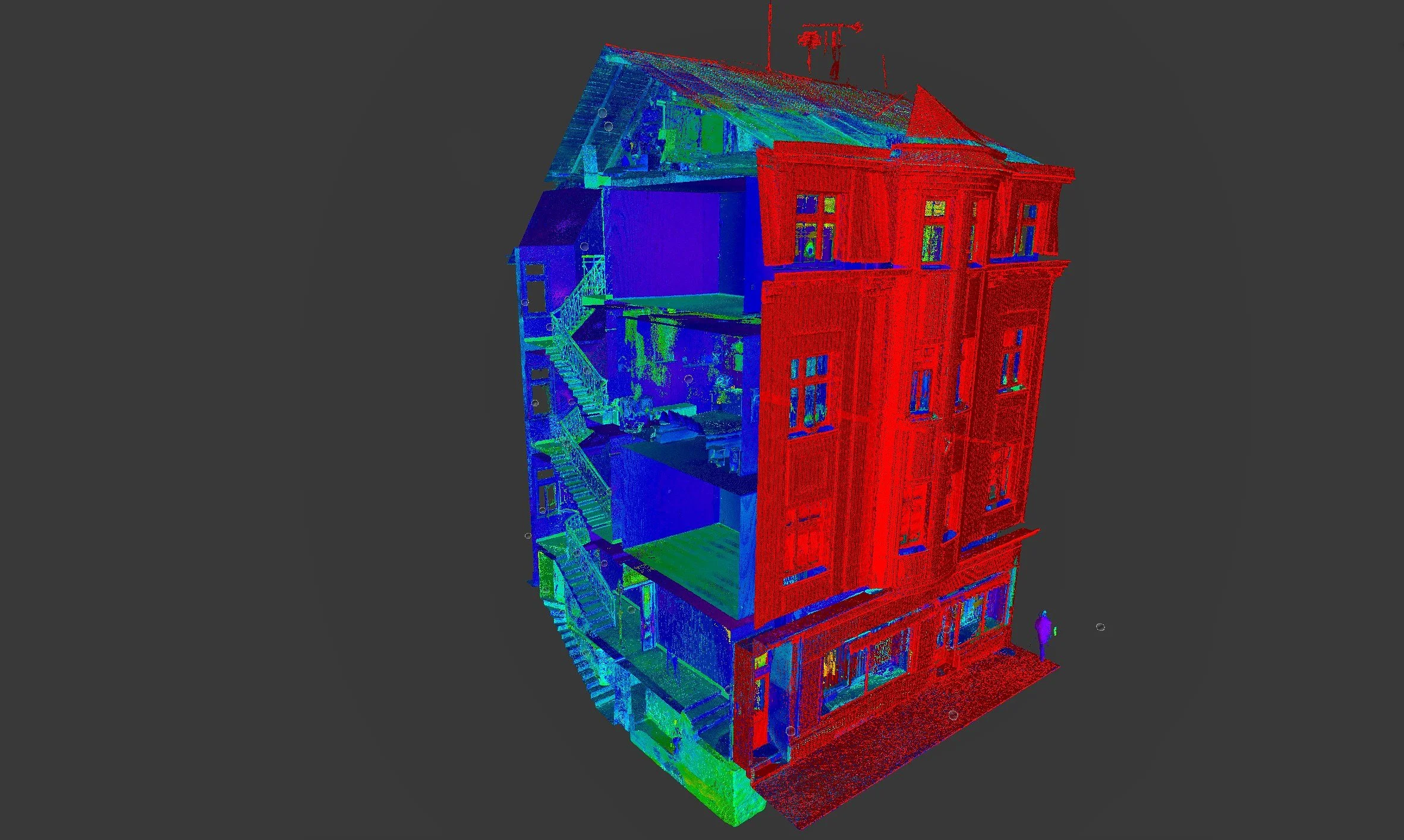
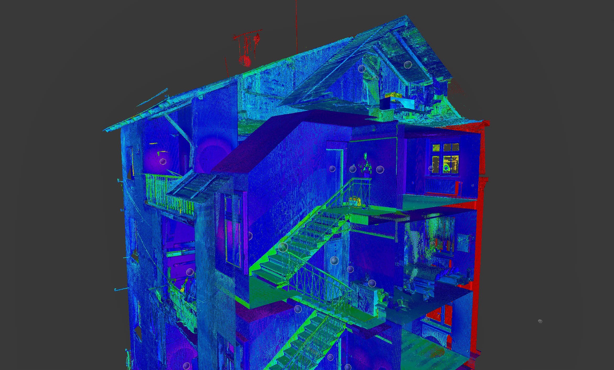
Scanning was carried out using a FARO Premium terrestrial laser scanner. For the exterior, we scanned all facades of the building in color—both the street-facing main façade and the courtyard façade. The colored point cloud allows us to capture not only the building geometry accurately, but also the visual condition of the facades, the articulation of openings, cornice details, height levels, and other architectural elements.
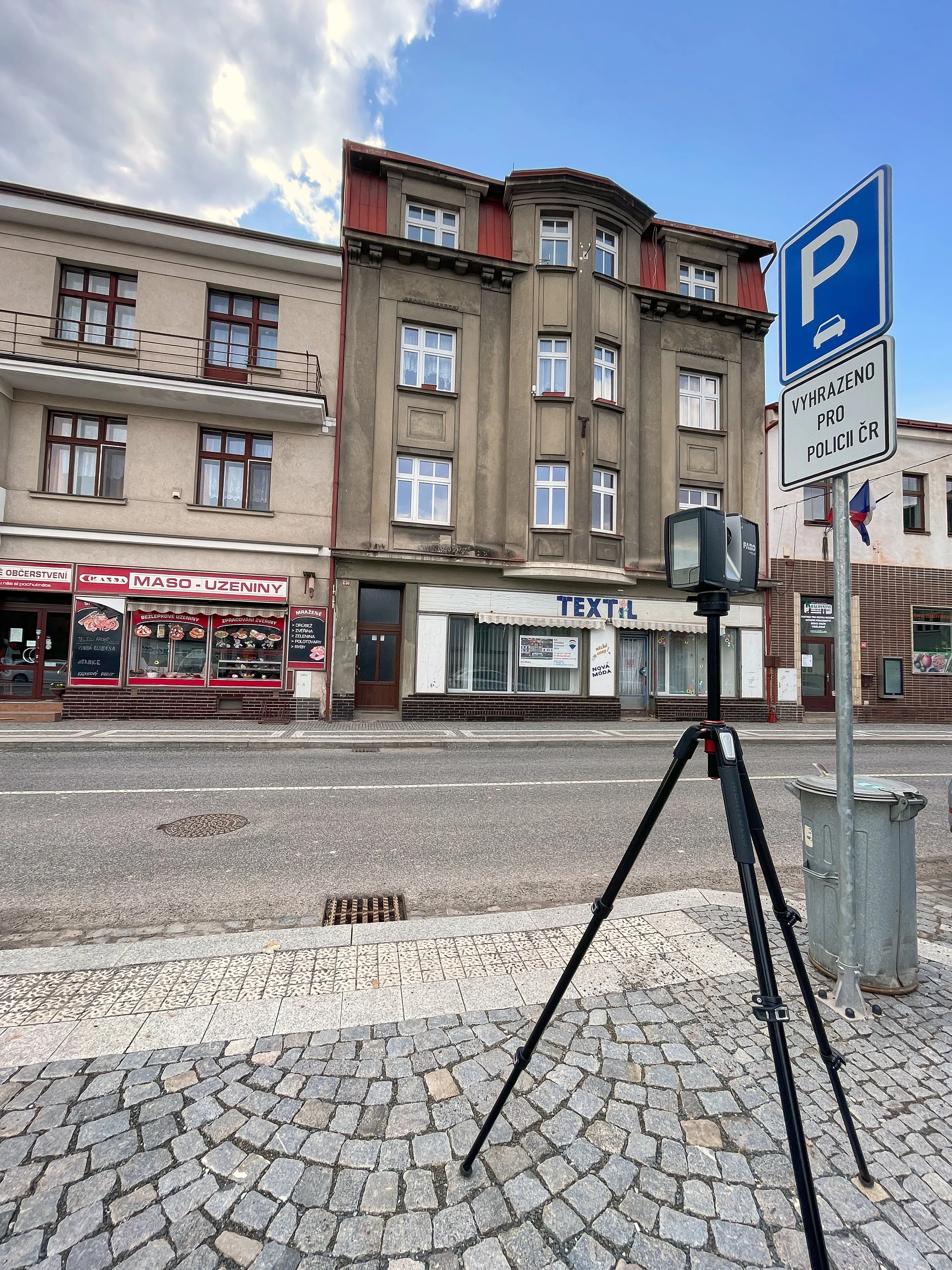
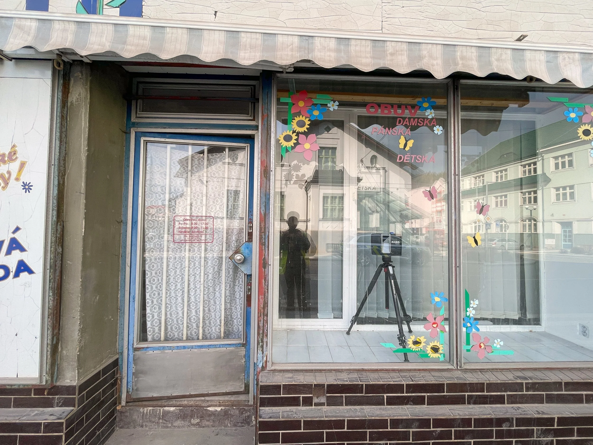
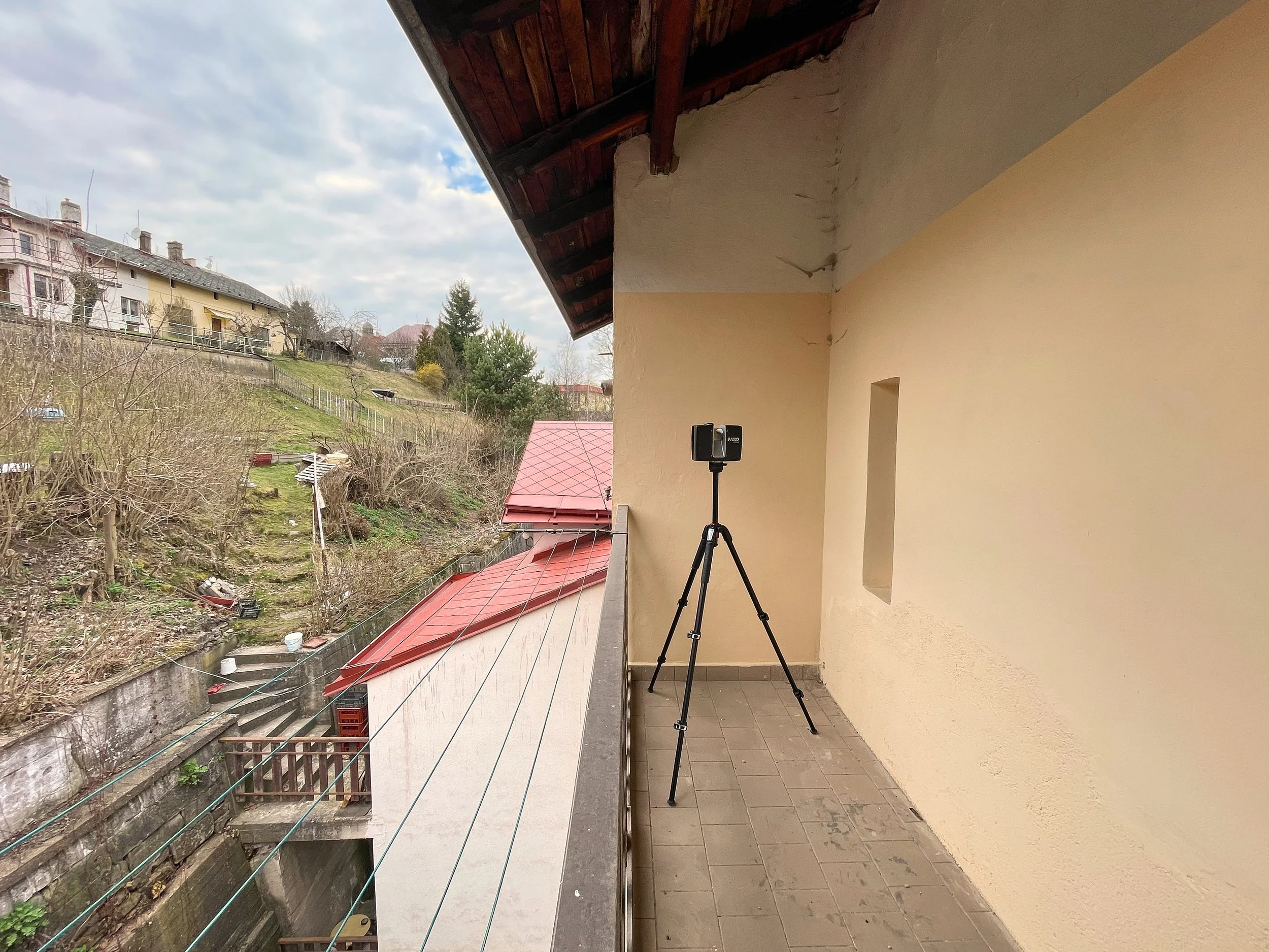
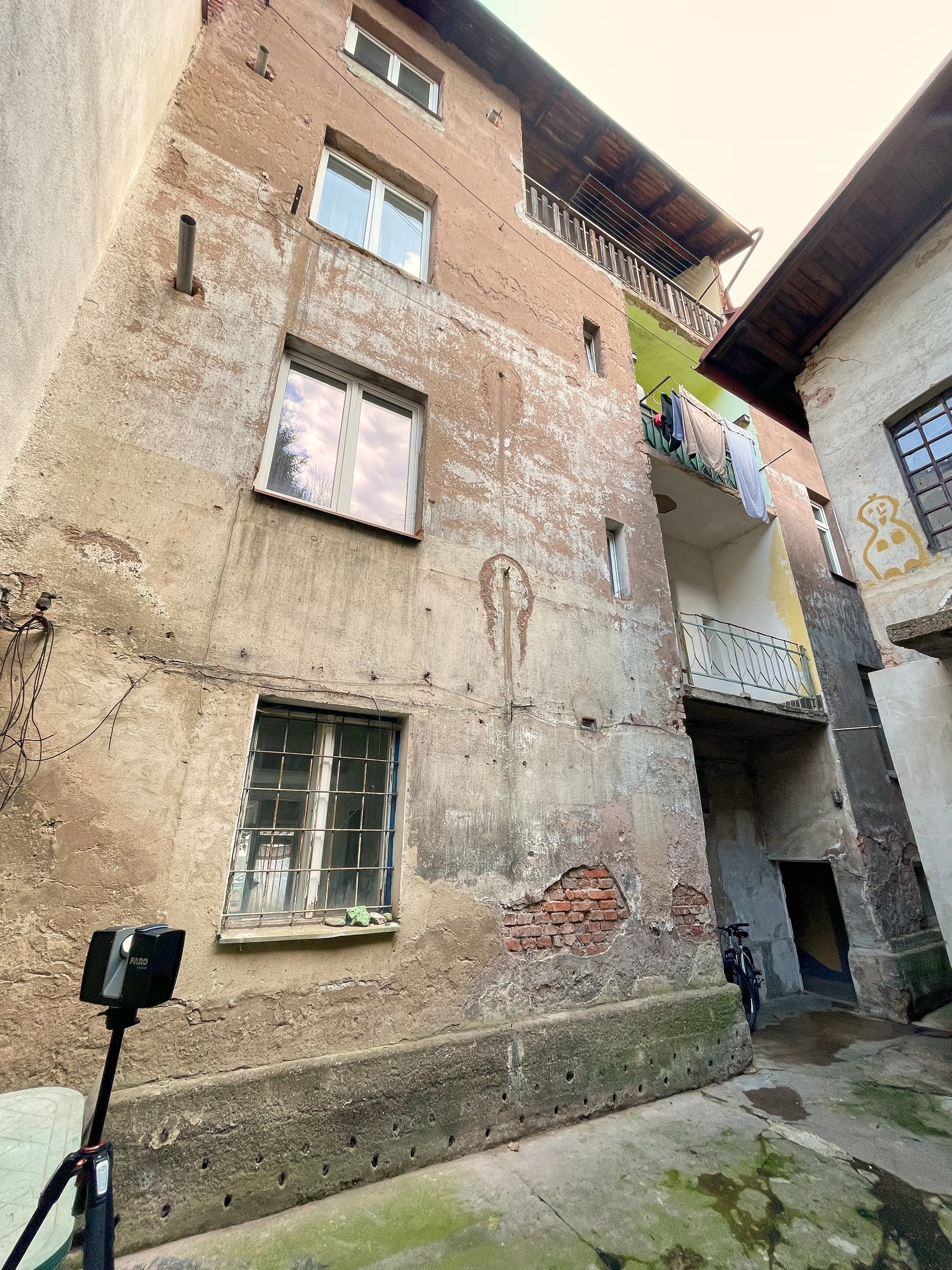
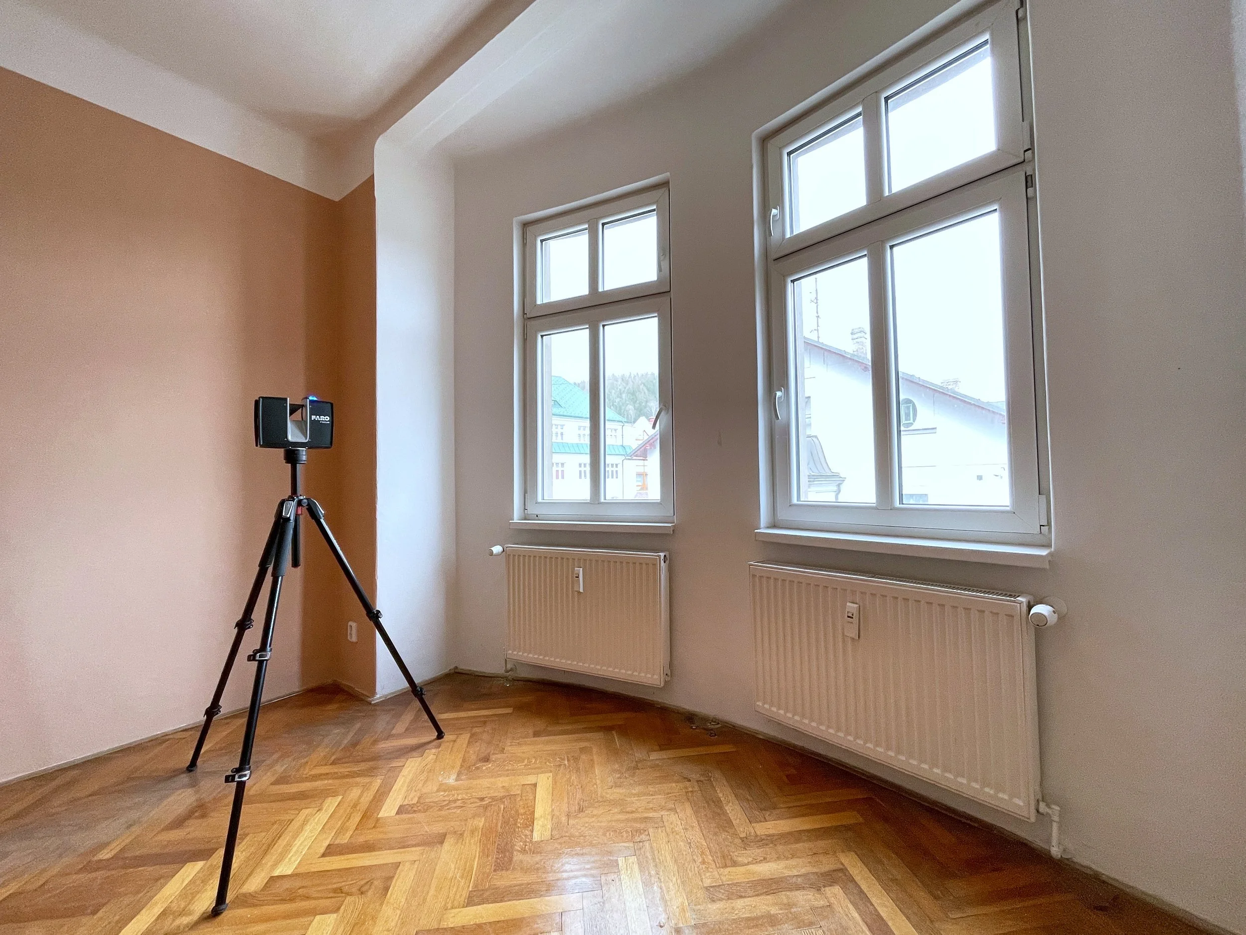
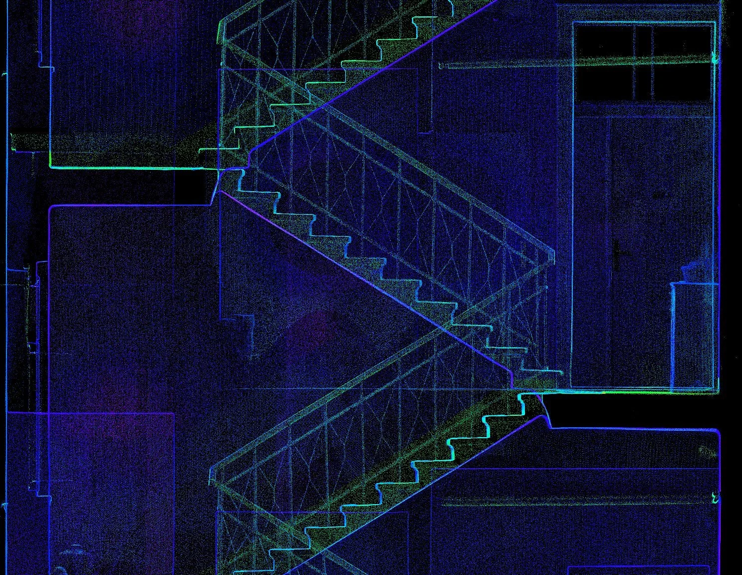
The interior survey covered all internal spaces across all four floors, including the basement level and the attic. The attic was surveyed together with the roof structure and timber framing system. Interior areas were scanned in black-and-white mode (reflected-signal intensity), which is well suited for precise point cloud processing and the subsequent production of drawings.
The entire building scan was completed within one working day. In total, 160 scan positions were captured, ensuring sufficient data overlap and accurate coverage of all key parts of the building.
Point cloud processing
After completing the fieldwork, we processed the measured data. Individual scan stations were registered into a unified coordinate system. The point cloud was then cleaned of noise, reflections, multiple reflections, and unwanted objects that were present in the space during scanning.
The cleaned and registered data was converted into the Autodesk ReCap format, which enables efficient work with the point cloud when preparing technical documentation. This made it possible to accurately extract dimensions, verify connections between structural elements, and create as-built drawings directly from the spatial data.

As-built drawings of the building
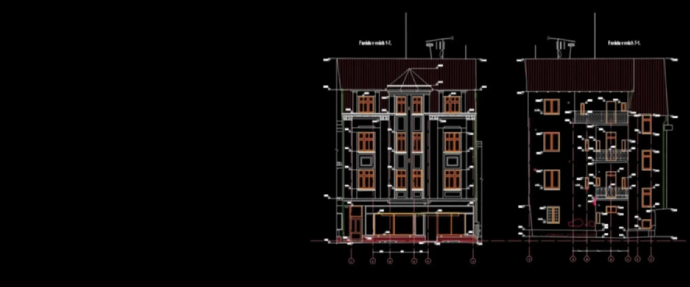
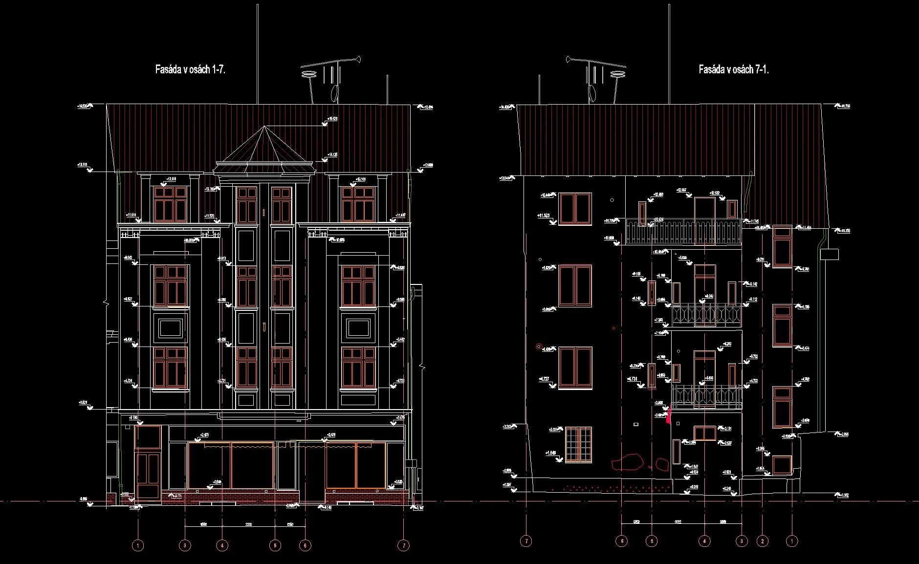
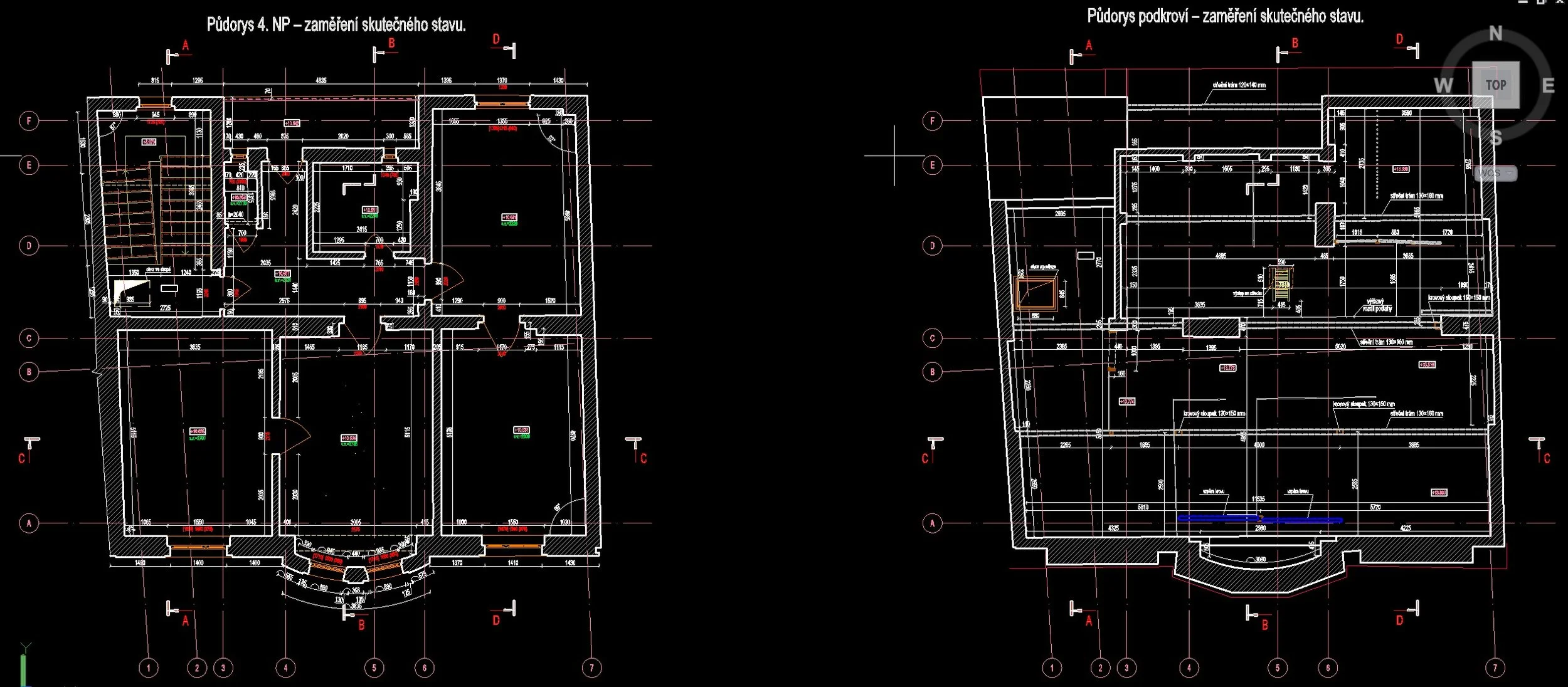
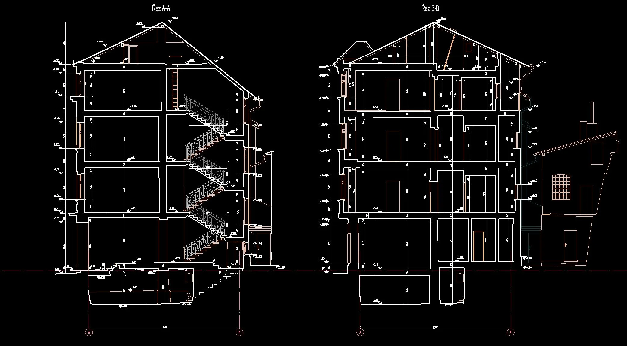
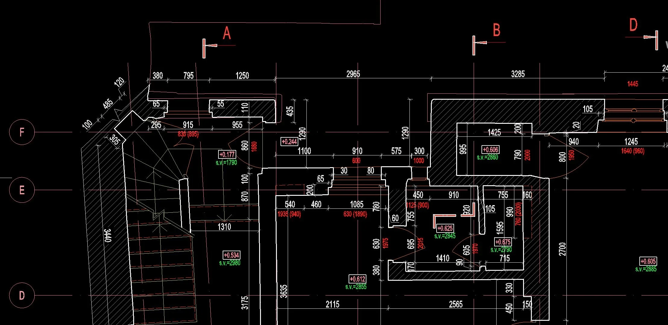
Based on the laser scanning, as-built drawings of the building were prepared. The documentation process took approximately two weeks.
The delivered documentation included:
floor plans of all levels,
measurements and dimensions of all rooms, including the retail space on the 1st above-ground floor,
three building sections,
facade elevations,
supporting materials for the architectural design of the renovation and restoration.
These drawings provide architects and designers with an accurate basis for further design work. Compared to traditional manual surveying, laser scanning enables significantly faster data capture, higher accuracy, and the ability to verify details retroactively directly within the point cloud.
Use of the survey for renovation and a building passport
Accurate documentation of the current condition is an important step in renovating older buildings, changing layouts, refurbishing facades, and preparing materials for designers. In the case of this building in Úpice, the outputs served as a technical basis for a renovation, restoration, and design redevelopment project.
Laser scanning is also well suited for preparing “building passport” documentation, where it is necessary to precisely record the existing condition of the structure—its load-bearing system, facades, interior spaces, and technical connections. The resulting drawings can then be used for permitting procedures, architectural studies, renovation planning, facility management, or long-term archiving of the as-built state.
The Úpice project demonstrates that 3D building surveying using laser scanning is an efficient method for obtaining accurate data even for more complex buildings with multiple floors, a basement, an attic, and historical structural elements.
Within one working day, we were able to fully scan both the facades and the interior spaces, and then produce precise as-built drawings for architects directly from the data. The combination of fast data capture, high accuracy, and detailed processing in AutoCAD provides investors, architects, and designers with a reliable foundation for renovation and further design work.