3D survey by laser scanning and roof structure modeling of a mansard floor, Prague
Accurate as-built surveying of structural elements for repairs and reconstruction.
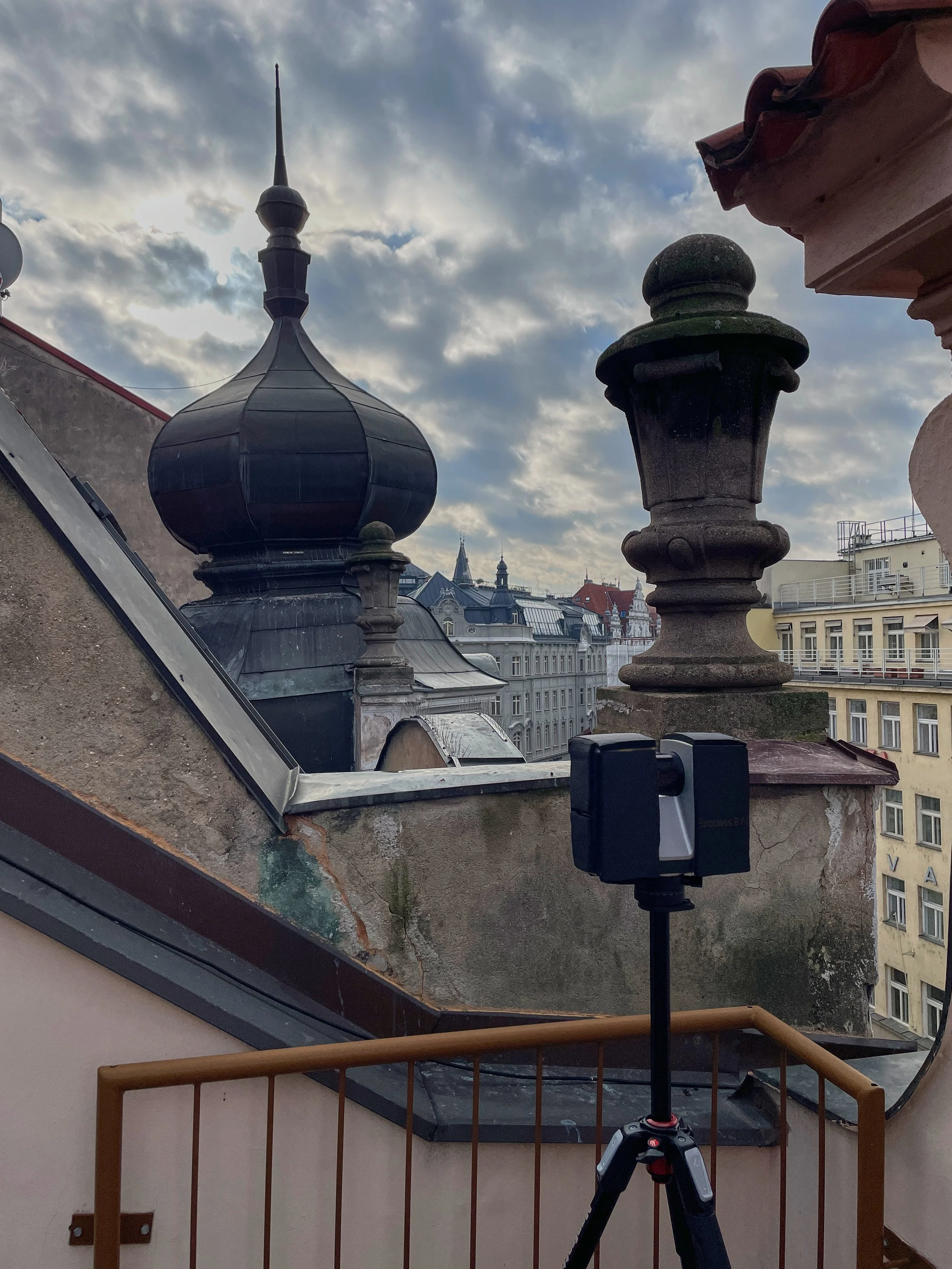
One of the typical tasks we help solve using terrestrial laser scanning is the restoration or update of missing documentation for buildings and interiors. Construction is a complex process, and sometimes work is not completed according to the original design for various reasons.
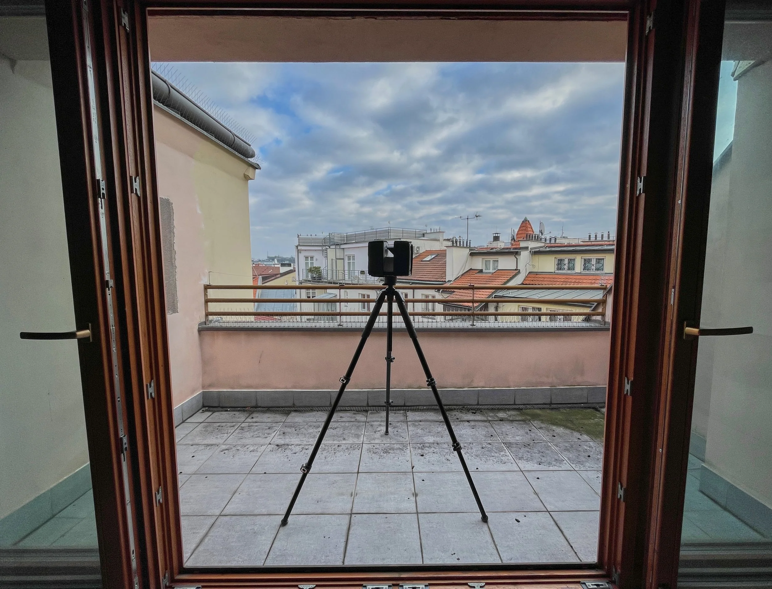
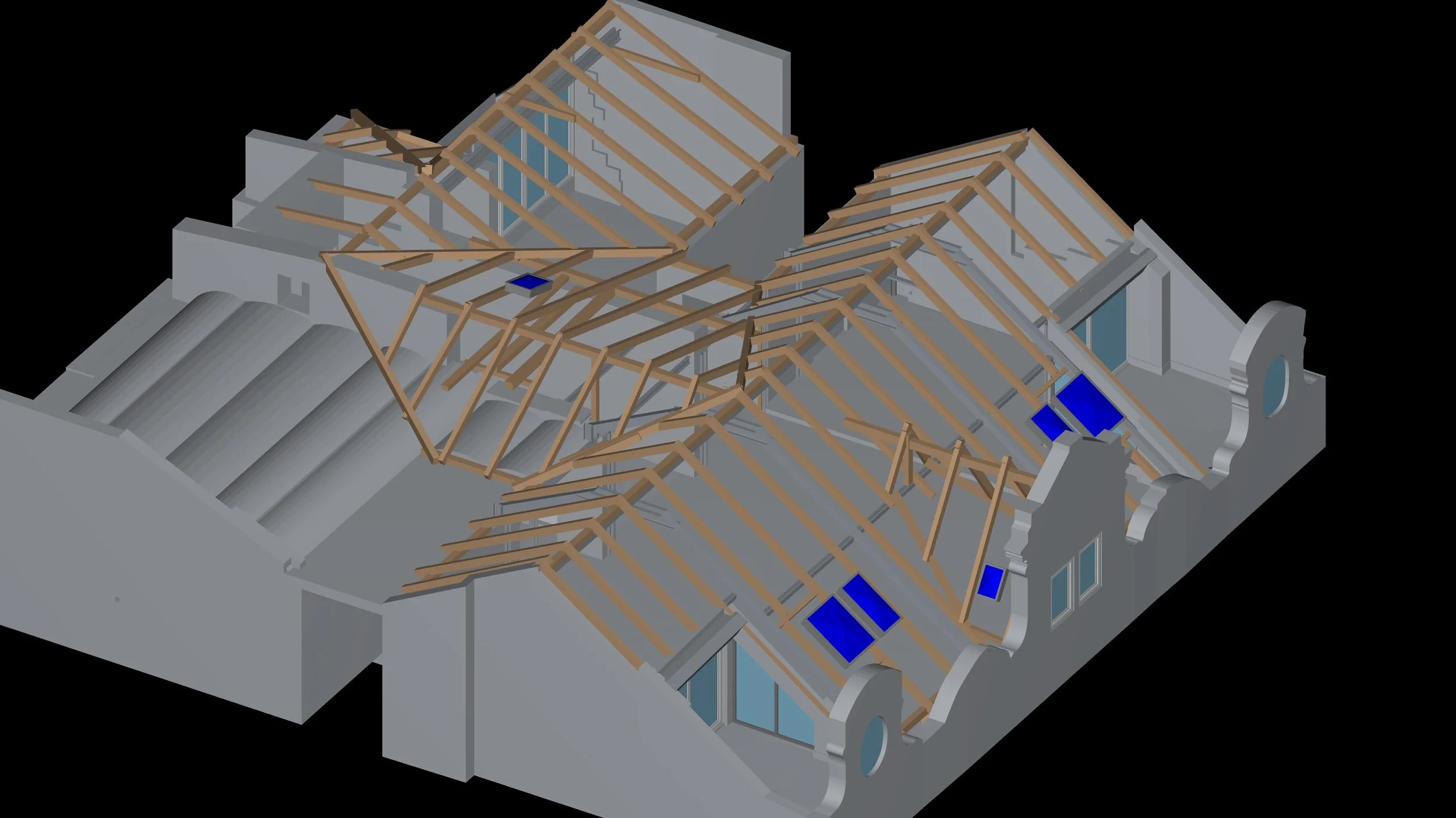
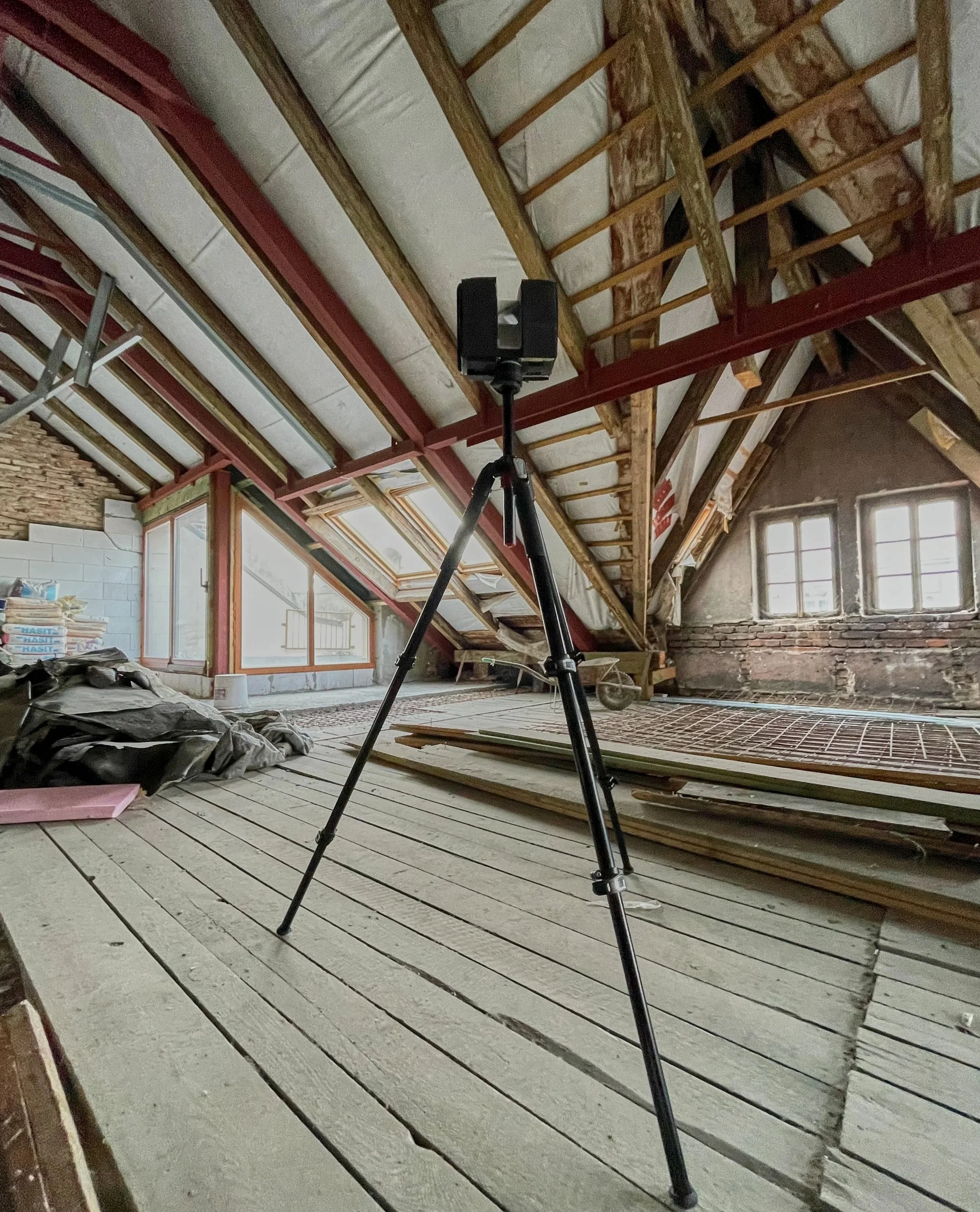
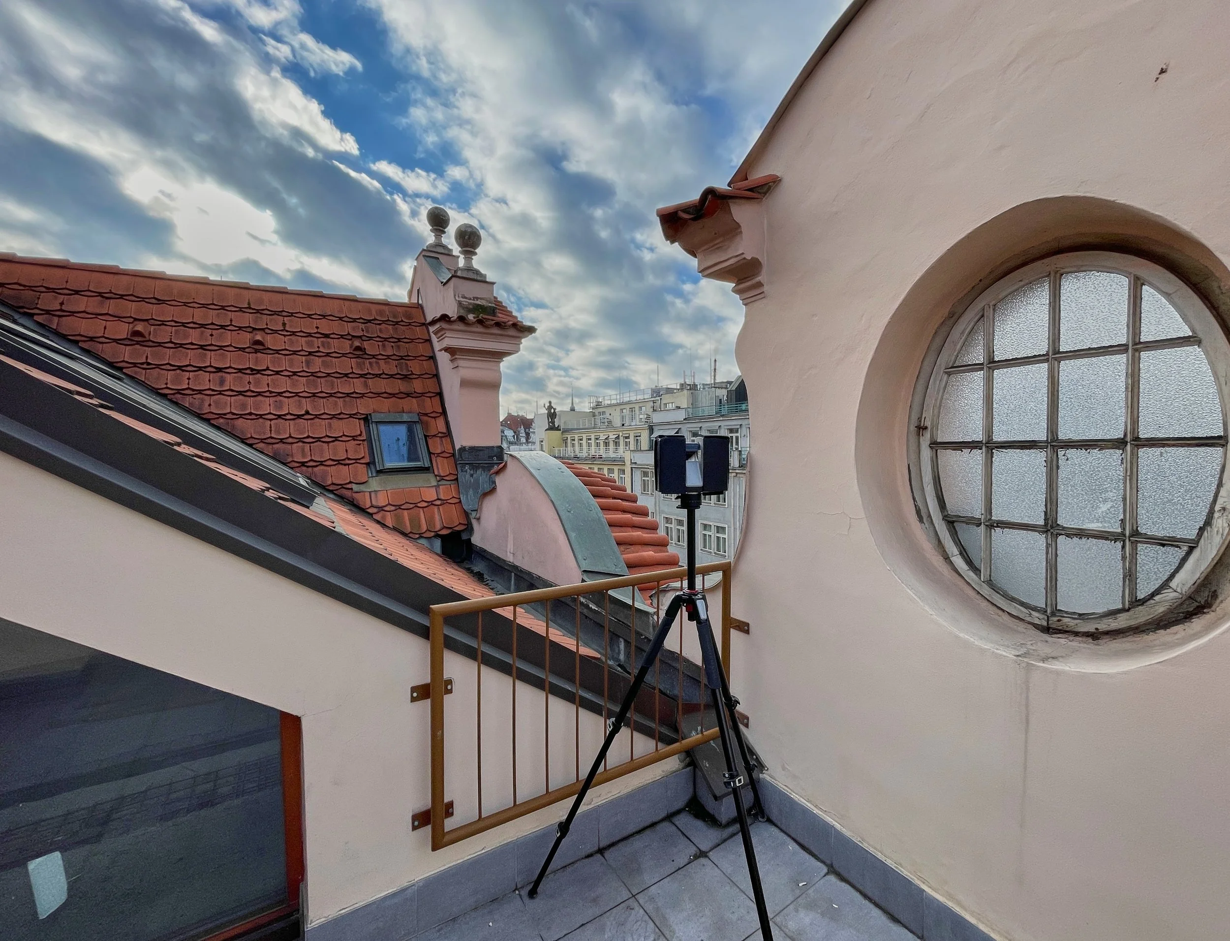
In our recent project, the goal was to update the structural drawings to reflect the actual as-built condition and to create an accurate 3D BIM model. We scanned a mansard floor with a total area of approximately 250 m², featuring a complex roof and load-bearing timber and steel beams, in the center of Prague in 2 hours. The total number of scan positions was 53. The point cloud was downsampled to a 5 mm resolution and prepared in Autodesk ReCap for subsequent modeling in Revit.
The result of the 3D scanning was a dense point cloud in a unified coordinate system, which we then cleaned of reflections and noise. During the 3D modeling phase, highly precise work was required.
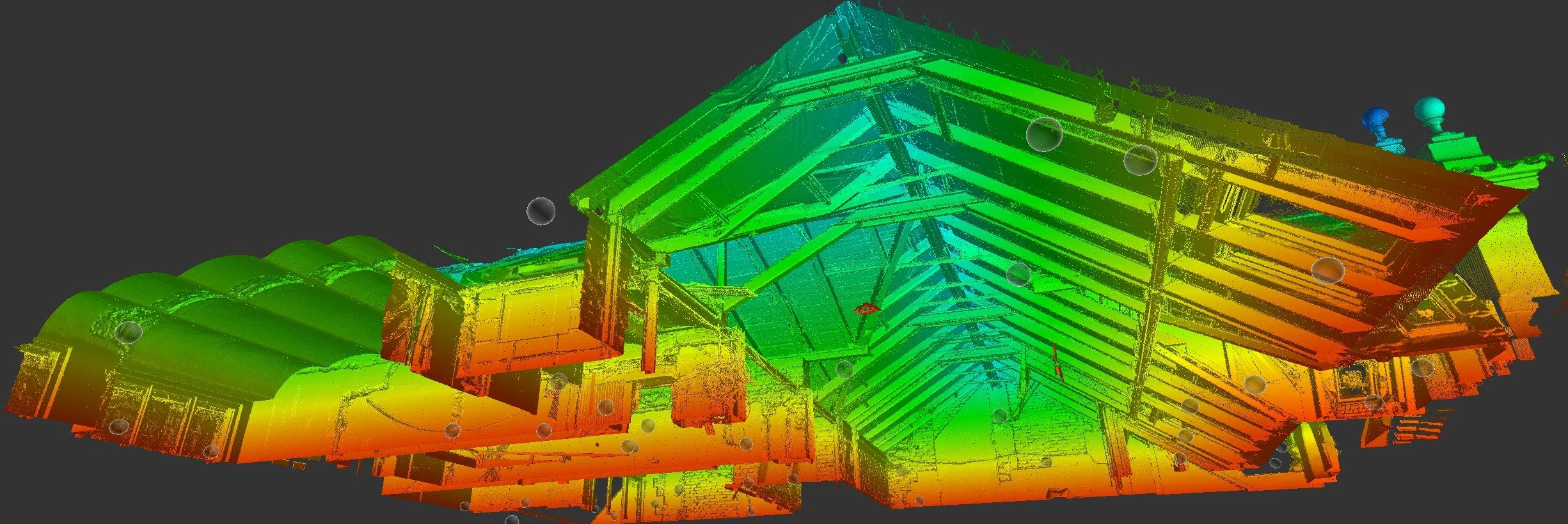
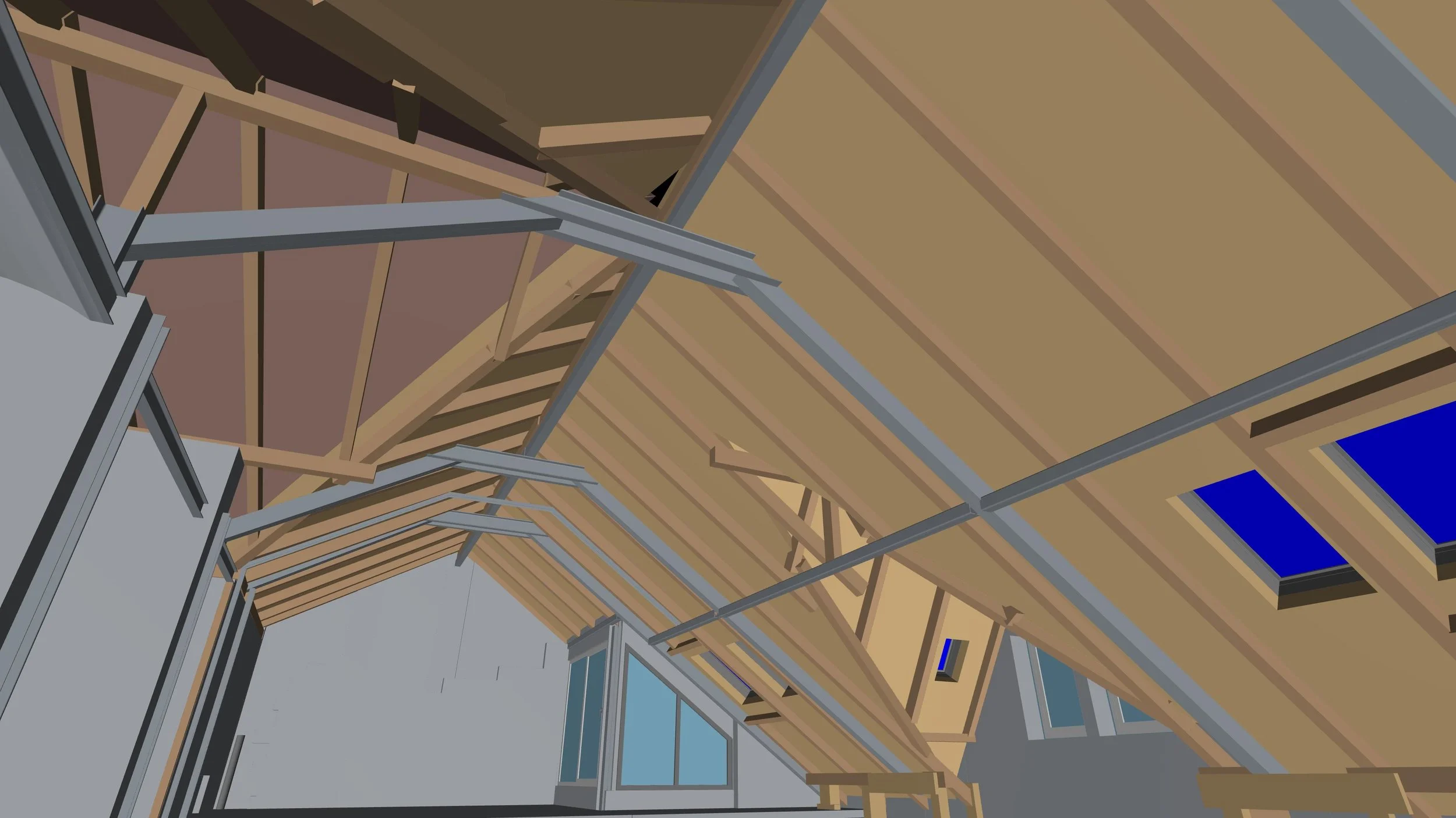
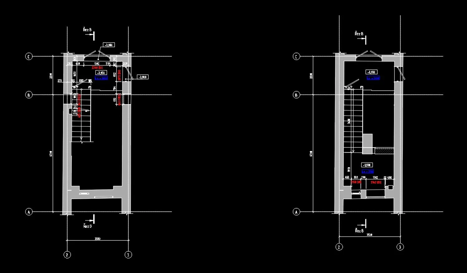
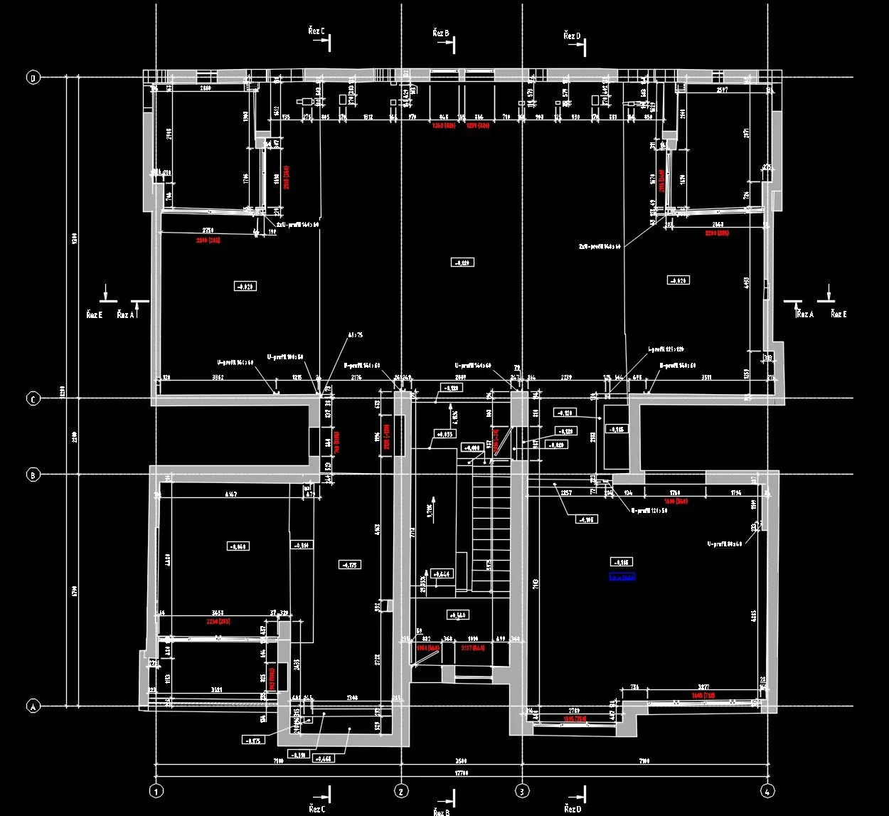
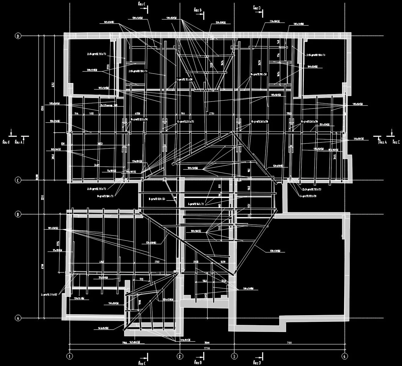
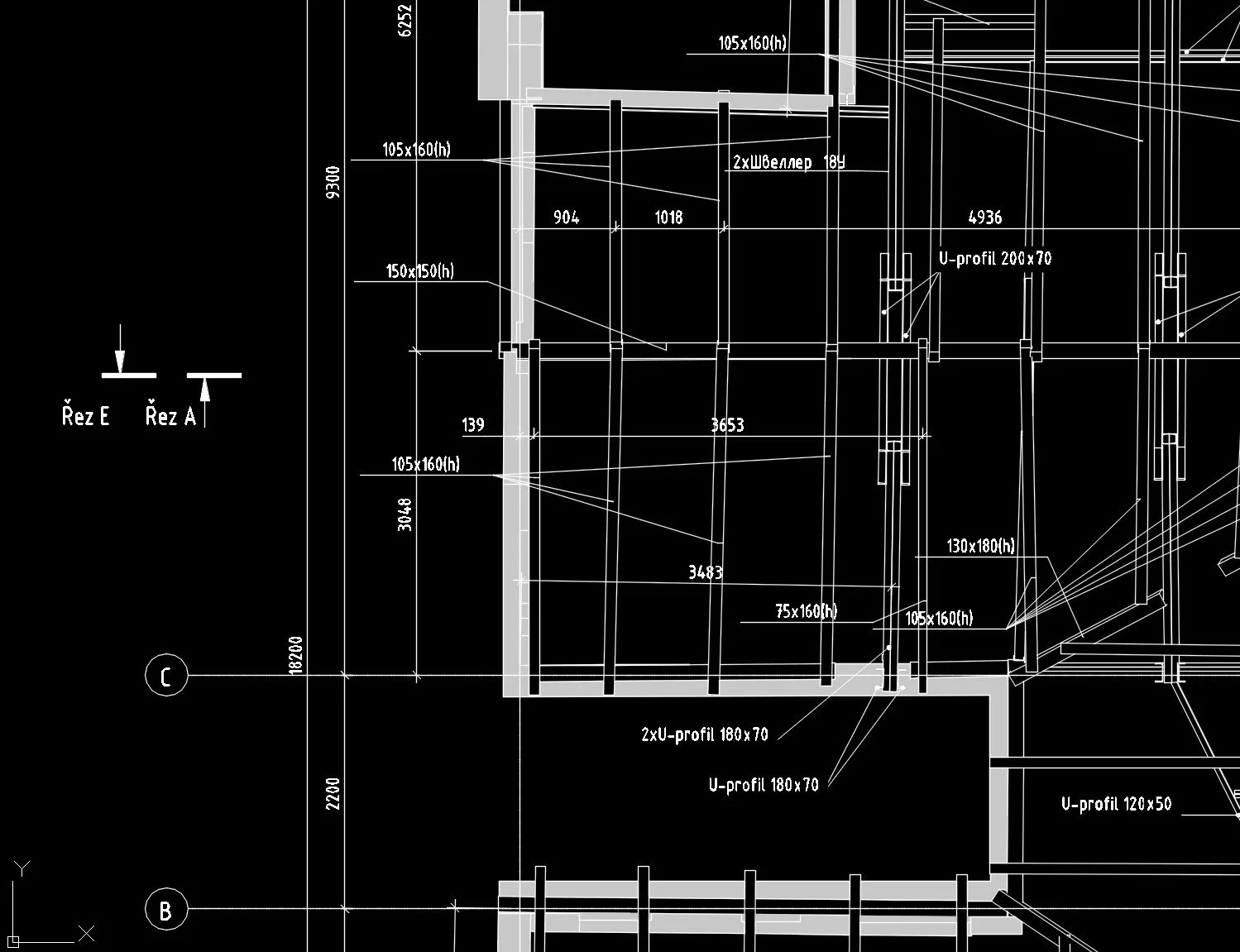
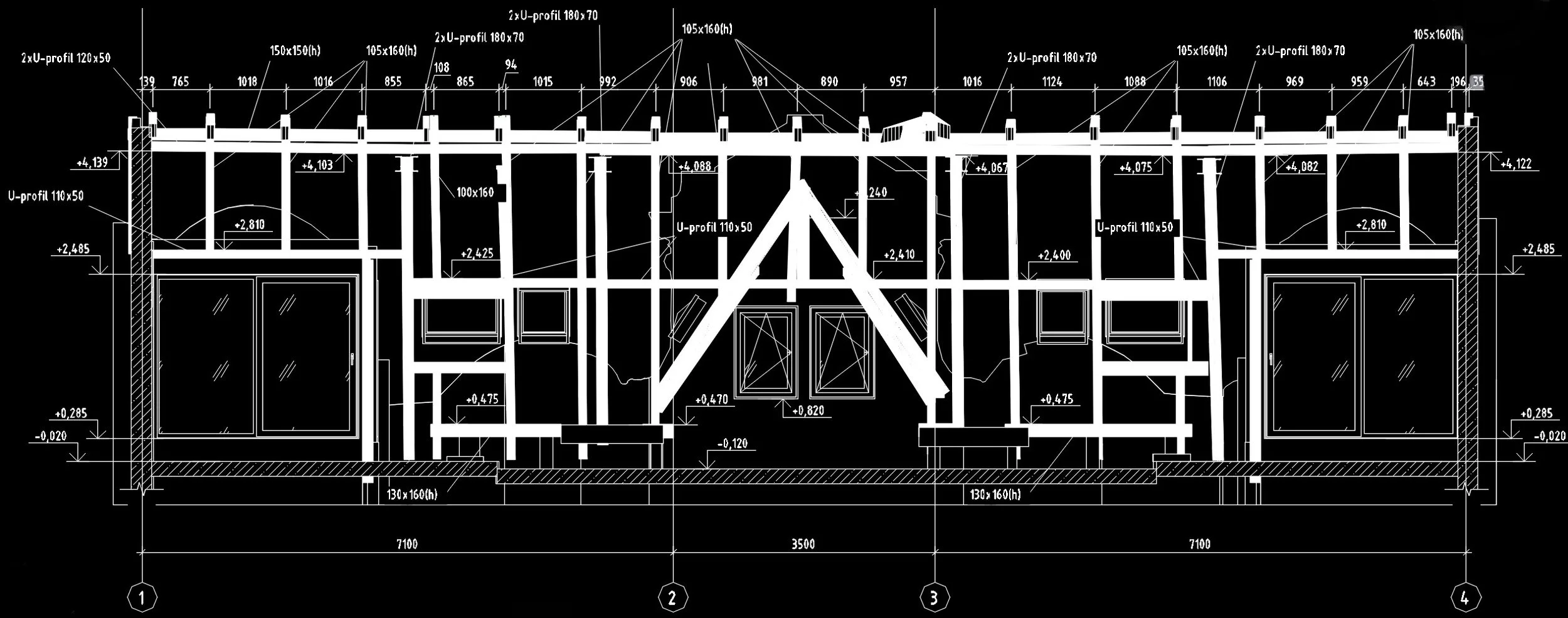
This allowed us to create a 3D model that closely matches the actual spatial arrangement of the structural elements (as-built). Based on the model, we then prepared a set of 2D drawings: a dimensioned as-built floor plan, two sections, and a roof structure plan.
The client can now use the 3D BIM model for further visualization and reconstruction, while also relying on the accurate 2D drawings as a basis for the architectural design.
Beams of various cross-sections and lengths, placed at different angles and slopes, were modeled by our specialists directly from the laser-scanned point cloud with the highest possible accuracy.